Themes & Projects
Browse
All Items
Divisions
Subjects
My Collections
Themes & Projects
About
Advanced Search
Help us improve our site.
Please take our survey
!
Digital Collections User Survey
×
Loading…
Home
Filtered search
FILTER SEARCH
Exclude Born Digital Content
DATE RANGE
to
Limit
ONLINE FORMAT
Image
44
Text
2
Video
1
ORIGINAL FORMAT
maps
ORIGINAL FORMAT
×
ORIGINAL FORMAT
COUNT
maps
44
LOCATION
Greenville (N.C.)
4
North Carolina
4
Bath (N.C.)
1
Black Mingo Creek (S.C.)
1
Craven County (N.C.)
1
Guadalcanal (Solomon Islands)
1
Maryland
1
More
LOCATION
×
LOCATION
COUNT
Greenville (N.C.)
4
North Carolina
4
Bath (N.C.)
1
Black Mingo Creek (S.C.)
1
Craven County (N.C.)
1
Guadalcanal (Solomon Islands)
1
Maryland
1
New Hanover County (N.C.)
1
Okinawa Island (Japan)
1
Panama
1
Pender County (N.C.)
1
South Carolina
1
Virginia
1
THEME/PROJECT
North Carolina Maps
31
Transportation
5
Military History
3
Military History: World War II
3
Senator Robert Burren Morgan
3
Transportation: Water
3
Daily Reflector Images
2
More
THEME/PROJECT
×
THEME/PROJECT
COUNT
North Carolina Maps
31
Transportation
5
Military History
3
Military History: World War II
3
Senator Robert Burren Morgan
3
Transportation: Water
3
Daily Reflector Images
2
Early American History
2
Naval and Maritime History
2
North Carolina History and Fiction Collection
2
Politics and Government
2
Politics and Government: North Carolina
2
Special Collections Staff Picks
2
Agriculture
1
Bath Tricentennial
1
ECU History
1
ECU History: ECTC
1
Manufacturing and Business
1
Military History: Navy
1
Transportation: Auto
1
Transportation: Rail
1
SUBJECT
Greenville (N.C.)--Maps
3
North Carolina--Maps--Early works to 1800
3
Election districts--North Carolina--Greenville--Maps
2
Atlantic Coast Lumber Company
1
Atlantic Intracoastal Waterway--Maps
1
Bath (N.C.)--History
1
Bath (N.C.)--Surveys
1
More
SUBJECT
×
SUBJECT
COUNT
Greenville (N.C.)--Maps
3
North Carolina--Maps--Early works to 1800
3
Election districts--North Carolina--Greenville--Maps
2
Atlantic Coast Lumber Company
1
Atlantic Intracoastal Waterway--Maps
1
Bath (N.C.)--History
1
Bath (N.C.)--Surveys
1
Bath Creek (Bath, N.C.)
1
Beaches--North Carolina--New Hanover County--Maps
1
Black Mingo Creek (S.C.)--Maps
1
Coasts--North Carolina
1
Craven County (N.C.)--History
1
Craven County (N.C.)--Surveys
1
East Carolina Teachers College--Maps
1
F. Rhem and Sons Company
1
Fire control (Gunnery)--Maps
1
Foy family
1
Foy, Thomas, -approximately 1789
1
Guadalcanal (Solomon Islands)--History, Military--20th century--Maps
1
Land tenure--North Carolina--Pender County
1
Land tenure--South Carolina
1
Maryland--Maps--Early works to 1800
1
McMillan family
1
North Carolina--Maps
1
Okinawa Island (Japan)--Maps
1
Panama Canal (Panama)--Maps
1
Pender County (N.C.)--Maps
1
Plantations--North Carolina--Pender County
1
Sloop Point Plantation (N.C.)
1
South Carolina--Maps--Early works to 1800
1
U.S. Coast and Geodetic Survey
1
Virginia--Maps--Early works to 1800
1
World War, 1939-1945--Campaigns--Japan--Okinawa Island
1
World War, 1939-1945--Campaigns--Pacific Area--Maps
1
World War, 1939-1945--Naval operations, American--Maps
1
DIVISION
East Carolina Manuscript Collection
27
Joyner NC Maps
11
Historic Hope Plantation
1
Joyner NC Maps Oversize
1
Joyner Rare
1
Special Collections Maps
1
University Archives
1
DIVISION
×
DIVISION
COUNT
East Carolina Manuscript Collection
27
Joyner NC Maps
11
Historic Hope Plantation
1
Joyner NC Maps Oversize
1
Joyner Rare
1
Special Collections Maps
1
University Archives
1
Filters
Search Results
44 results found for:
tag:1
Original Format:
maps
Sort by:
Relevance
Date Digitized
Date Created
Currently viewing items 1 - 40
PAGE
OF 2
Next
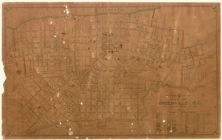
Map of Greenville, N.C. : population 1930-10,168, ...
Title map : Carolina Real Estate Trust Company vs....
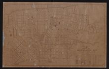
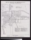
City of Greenville, Pitt County, North Carolina.
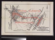
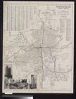
Map showing suburban developments along the lines ...
A new and correct map of the province of North Car...
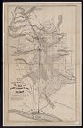
Map of the Jamesville and Washington Rail Road and...
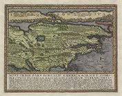
Virginiae partis australis, et Floridae partis ori...
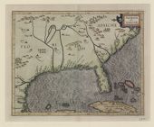
Florida et Apalche
Literary map of North Carolina prepared by the Lit...
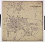
Map of Greenville, N.C.
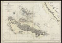
Guadacanal and Florida Is. with a portion of Malai...
Virginia, Marylandia et Carolina in America Septen...
Winston-Salem, North Carolina
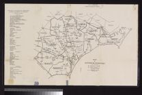
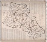
Map of the county of Halifax, North Carolina, 1914...
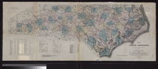
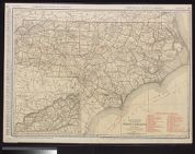
Standard map of North Carolina
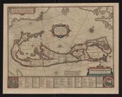
Mappa Aestivarum Insularum alias Barmudas dictarum...
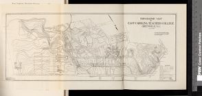
Topographic map of East Carolina Teachers College,...
Map of the city of Greenville, N.C. : our Greenvil...
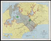
The Panama Canal : Map of the Canal Zone and vicin...
Virginiae partis australis, et Floridae partis ori...
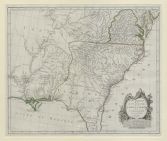
Map of North Carolina by W.C. Kerr ; assisted by W...
Surveyor's Map of W. H. Fortescue's Land in Hyde C...
Intelligence Map : Nansei Shoto, Okinawa Gunto
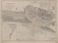
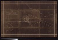
Beaufort Harbor, North Carolina
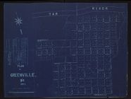
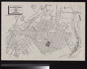
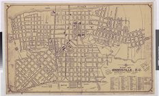
Plan of Greenville, N.C., 1885
Map of North Carolina coast
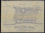
Shell Island Beach & adjoining marsh land, New Han...
Map of the British empire in America with the Fren...
Map of Wilmington Presbytery
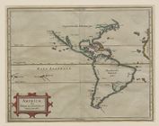
Americæ sive Indiæ occidentalis tabula generalis
Map of Property of North Carolina State Highway & ...
City map of Roanoke Rapids, North Carolina : inclu...
Partie meridionale de la Louisiane, avec la Florid...
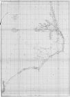
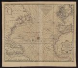
New & accurate chart of the Western or Atlantic Oc...
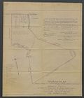
Plat, showing a part of the lands to be reserved b...
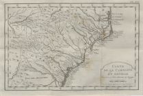
Carte de la Caroline et Georgie pour servir a l'hi...
Map of Greenville, N.C.
A new map of Carolina
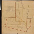
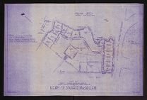
Heirs of Dougald MacMillan survey map
Novi orbis pars borealis, America scilicet complec...
Currently viewing items 1 - 40
PAGE
OF 2
Next
![A new and correct map of the province of North Carolina drawn from the original of Colo. Mosely's [i.e. Moseley's]](https://digital.lib.ecu.edu/encore\ncgre000\00000005\00004542\00004542.jpg)
![Virginiae partis australis, et Floridae partis orientalis, interjacentiumq[ue] regionum, nova descriptio](https://digital.lib.ecu.edu/encore\ncgre000\00000011\00010393\00010393.jpg)
![Literary map of North Carolina prepared by the Literature Committee, Mrs. Mary Wyche Mintz, chairman ; preliminary idea by Nancy Kurka ; designed by Primrose [pseud. of Mrs. Francis Paschal]](https://digital.lib.ecu.edu/encore\ncgre000\00000011\00010410\00010410.jpg)
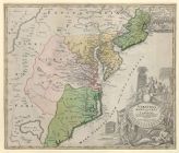
![Virginiae partis australis, et Floridae partis orientalis, interjacentiumq[ue] regionum nova descriptio](https://digital.lib.ecu.edu/encore\ncgre000\00000011\00010394\00010394.jpg)