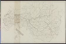
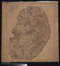
Map of Qualla and 3200 acre tracts, Cherokee Indian Reservation, 1937 E.H. Coulson.
- Title
- Map of Qualla and 3200 acre tracts, Cherokee Indian Reservation, 1937 E.H. Coulson.
- Description
- 1 map. Scale 1:32000(W83°07'30--W83°22'30/N35°37'30--N35°22'30). "Compiled and drawn from maps and data from the U.S.G.S., T.V.A., and the National Park Service, by E.H. Coulson, Chief Engineering Draftsman, Forestry Division, Office of Indian Affairs."; Map irregularly shaped and printed diagonally on sheet.
- Date
- 1937
- Extent
- 113cm x 75cm
- Local Identifier
- G3902.C43 1937 C68
- Creator(s)
- Contributor(s)
- Subject(s)
- Permalink
- https://digital.lib.ecu.edu/10800
- Preferred Citation
- Cite this item
- This item
-
 Map of Qualla and 3200 acre tracts, Cherokee Indian Reservation, 1937 E.H. Coulson.
- My Collections Login
- Printable Feedback Form
Related Search Results

Public access is provided to these resources to preserve the historical record. The content represents the opinions and actions of their creators and the culture in which they were produced. Therefore, some materials may contain language and imagery that is outdated, offensive and/or harmful. The content does not reflect the opinions, values, or beliefs of ECU Libraries.
Contact Digital Collections
If you know something about this item or would like to request additional information, click here.
Comment on This Item
Complete the fields below to post a public comment about the material featured on this page. The email address you submit will not be displayed and would only be used to contact you with additional comments or questions.