ONLINE FORMAT
| Image | 30 |
| Text | 3 |
THEME/PROJECT
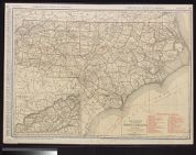
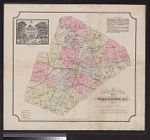
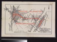
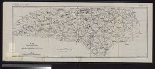
| North Carolina Maps | |
| North Carolina Maps | |
| Military History | 6 |
| Military History: Marines | 5 |
| Early American History | 1 |
| Military History: Civil War | 1 |
| Special Collections Staff Picks | 1 |
Search Results
33 results found for:
Bonds—Confederate States of America
View all North Carolina Maps material.


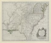
![Virginiae partis australis, et Floridae partis orientalis, interjacentiumq[ue] regionum nova descriptio](https://digital.lib.ecu.edu/encore\ncgre000\00000011\00010394\00010394.jpg)