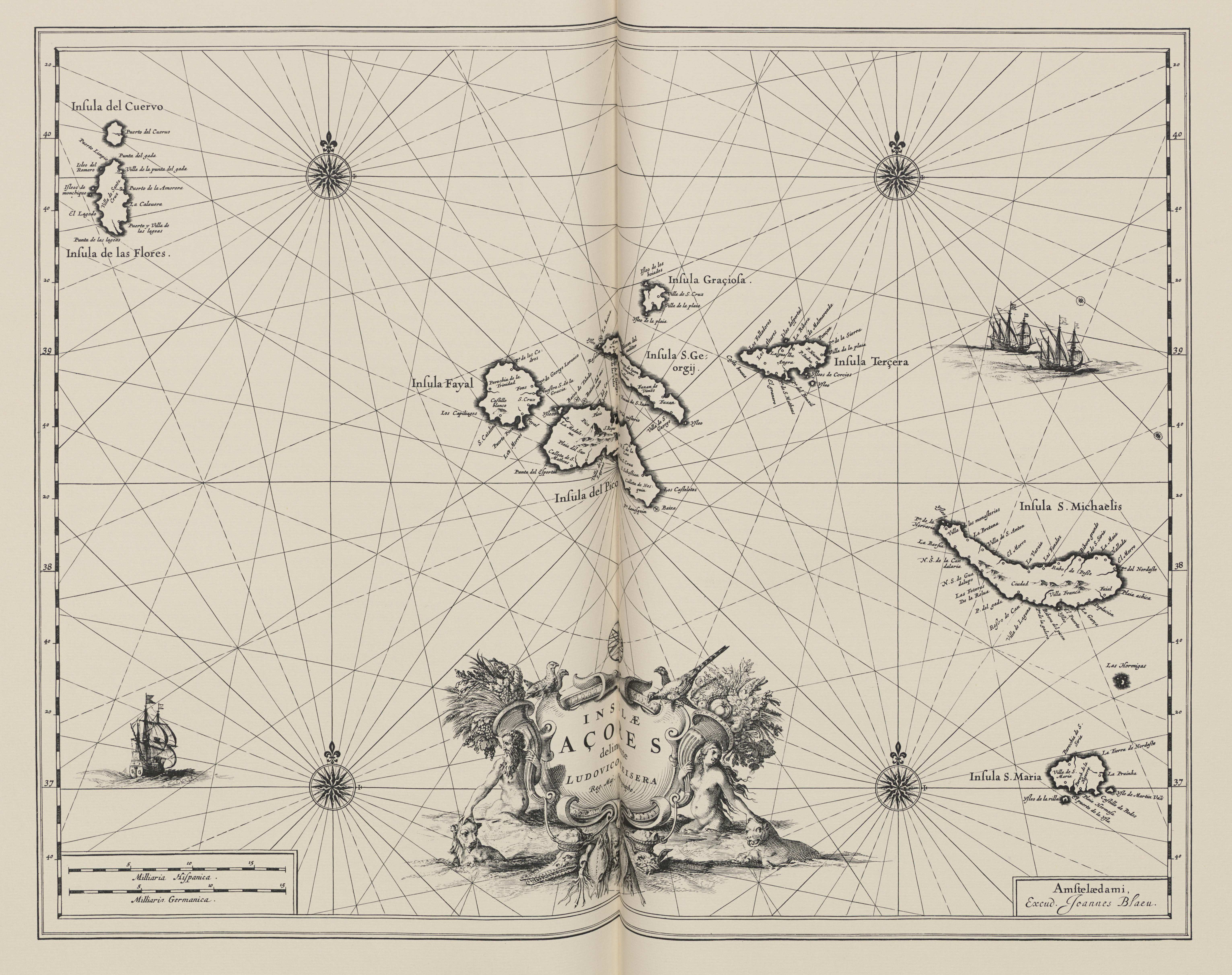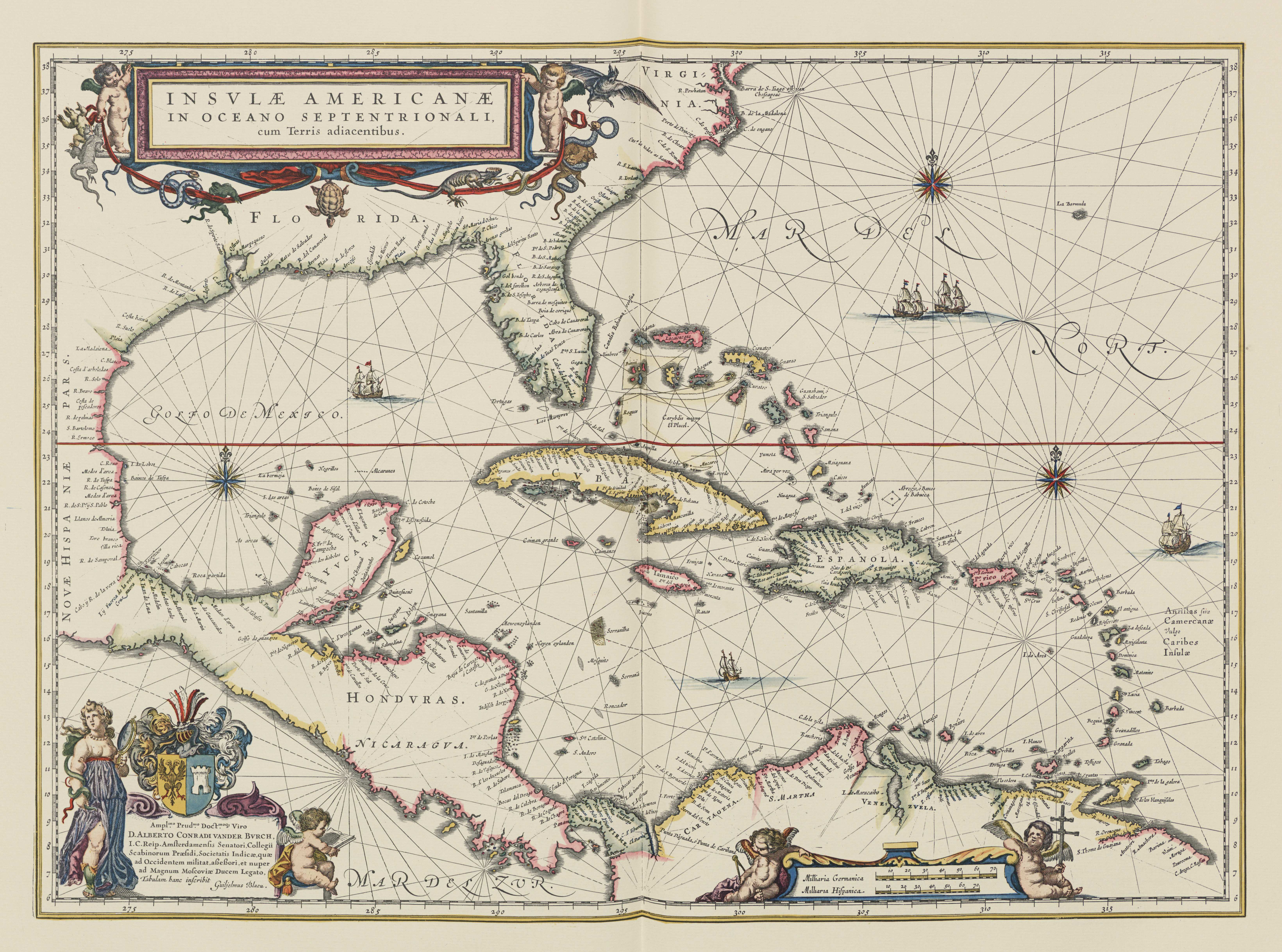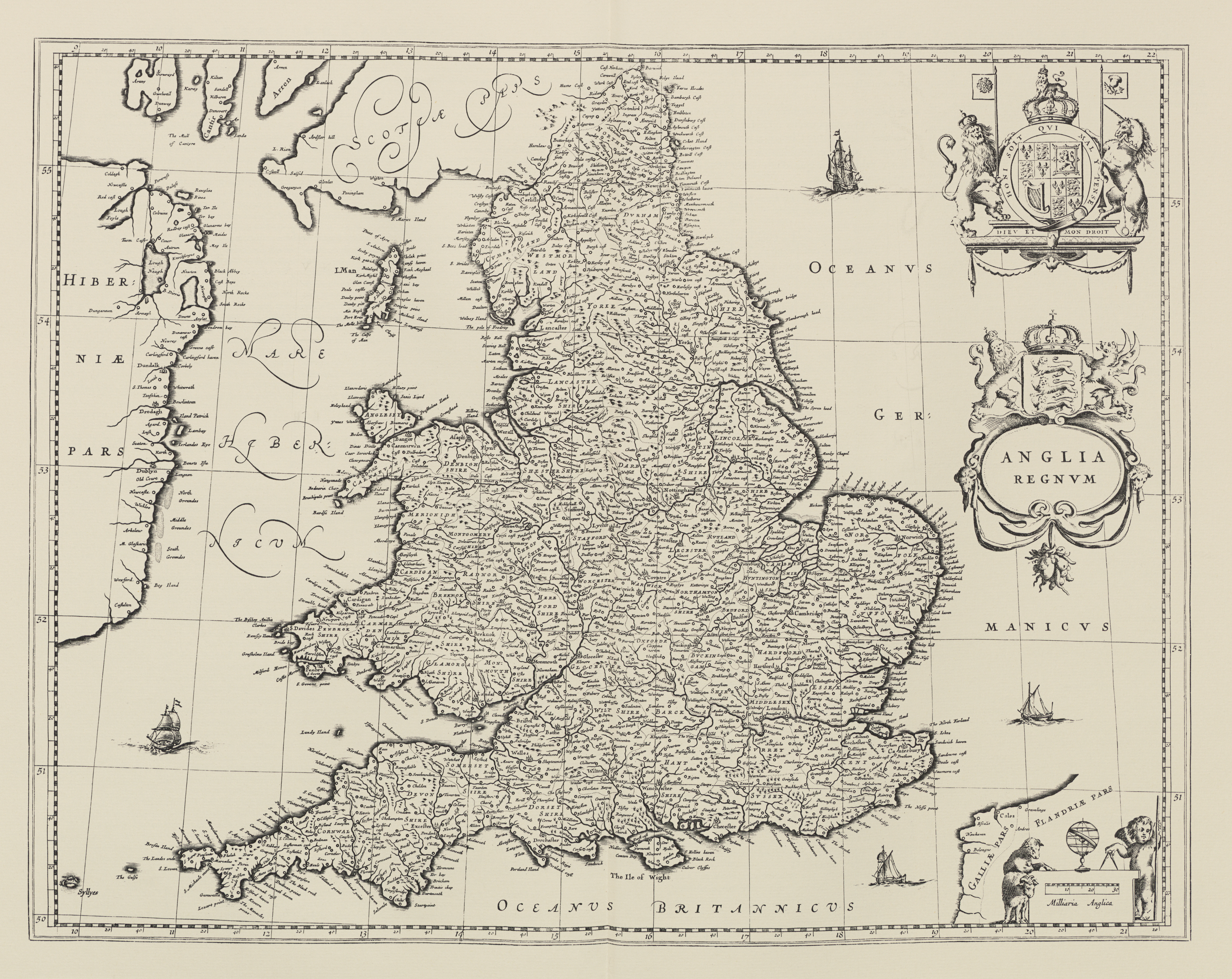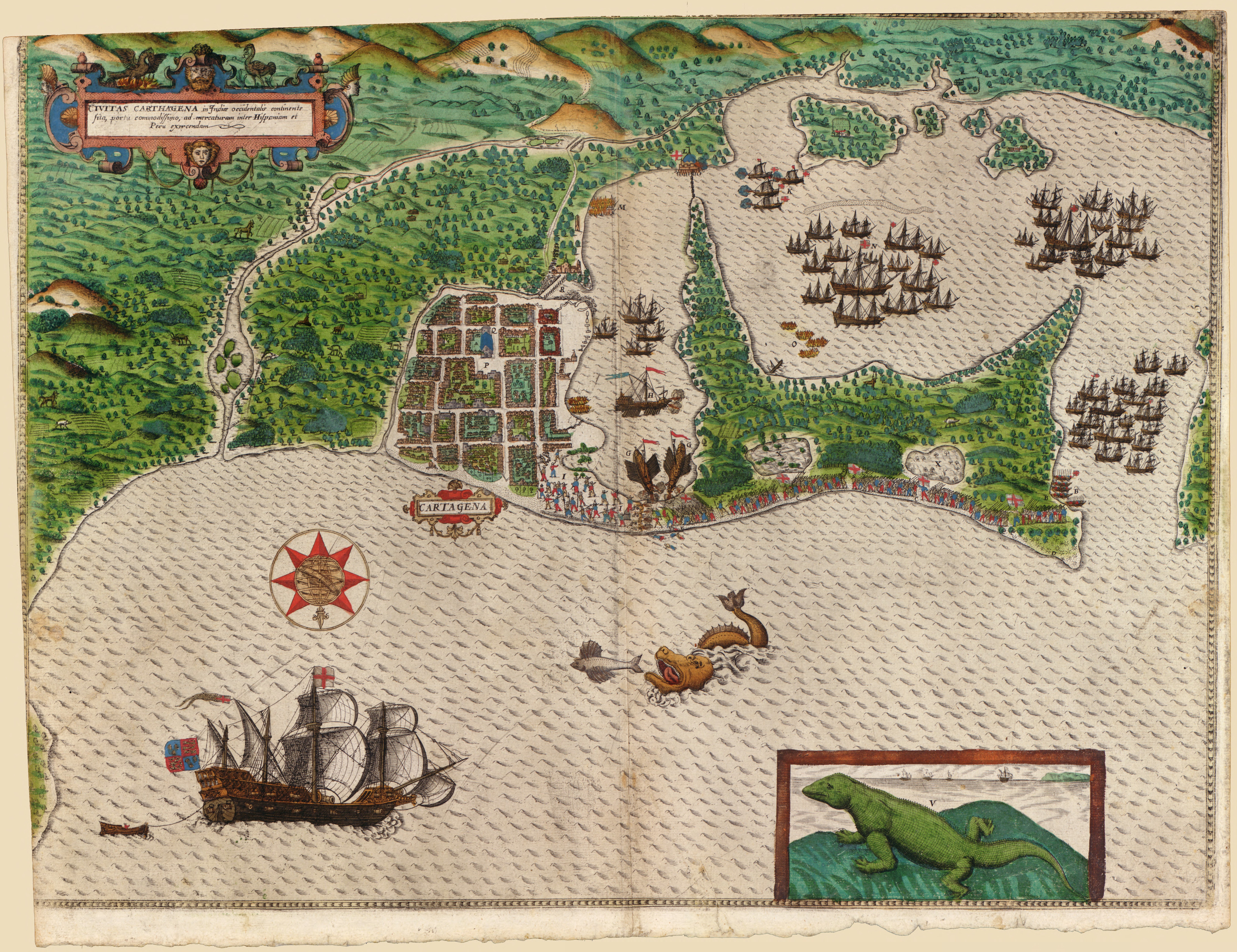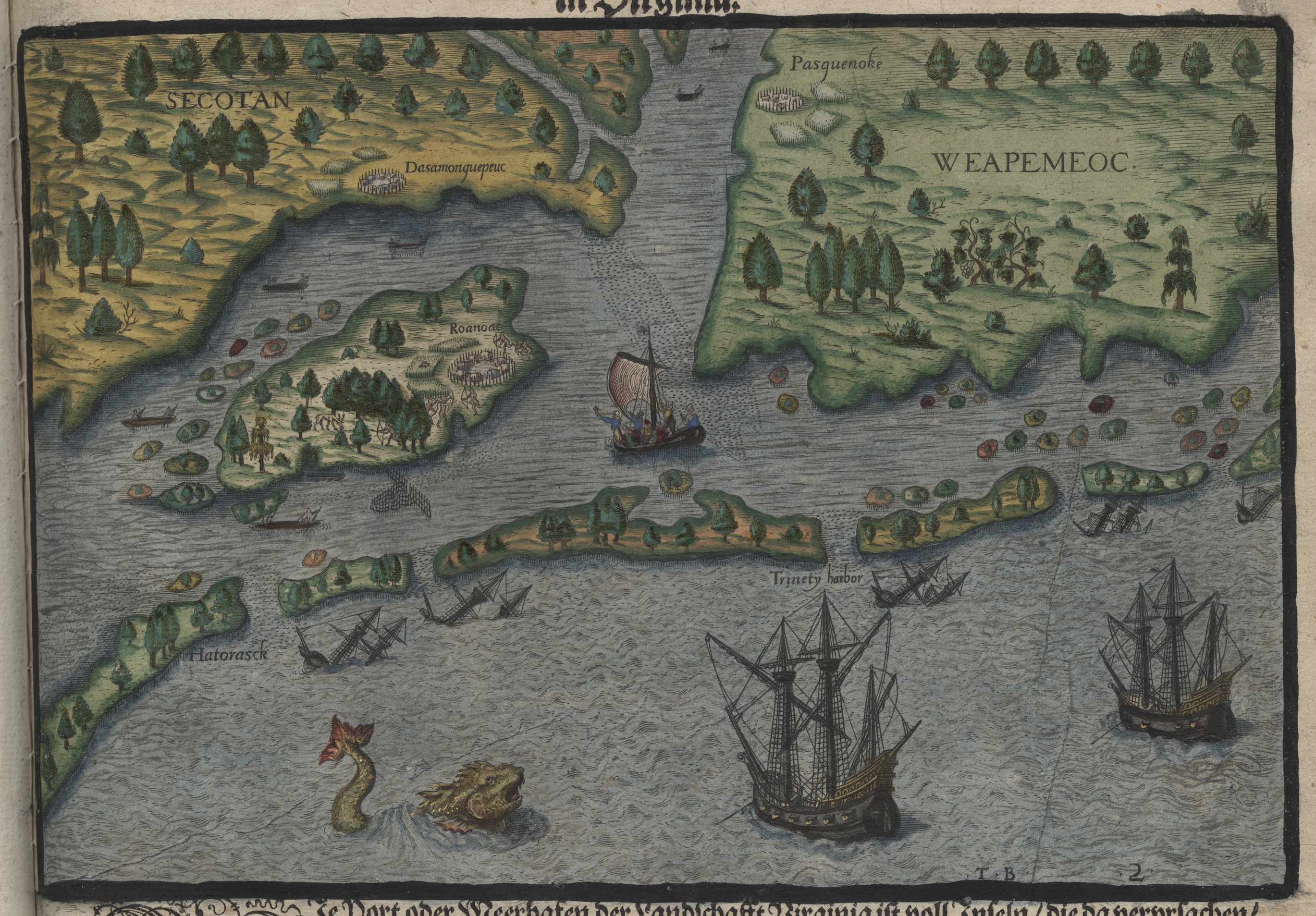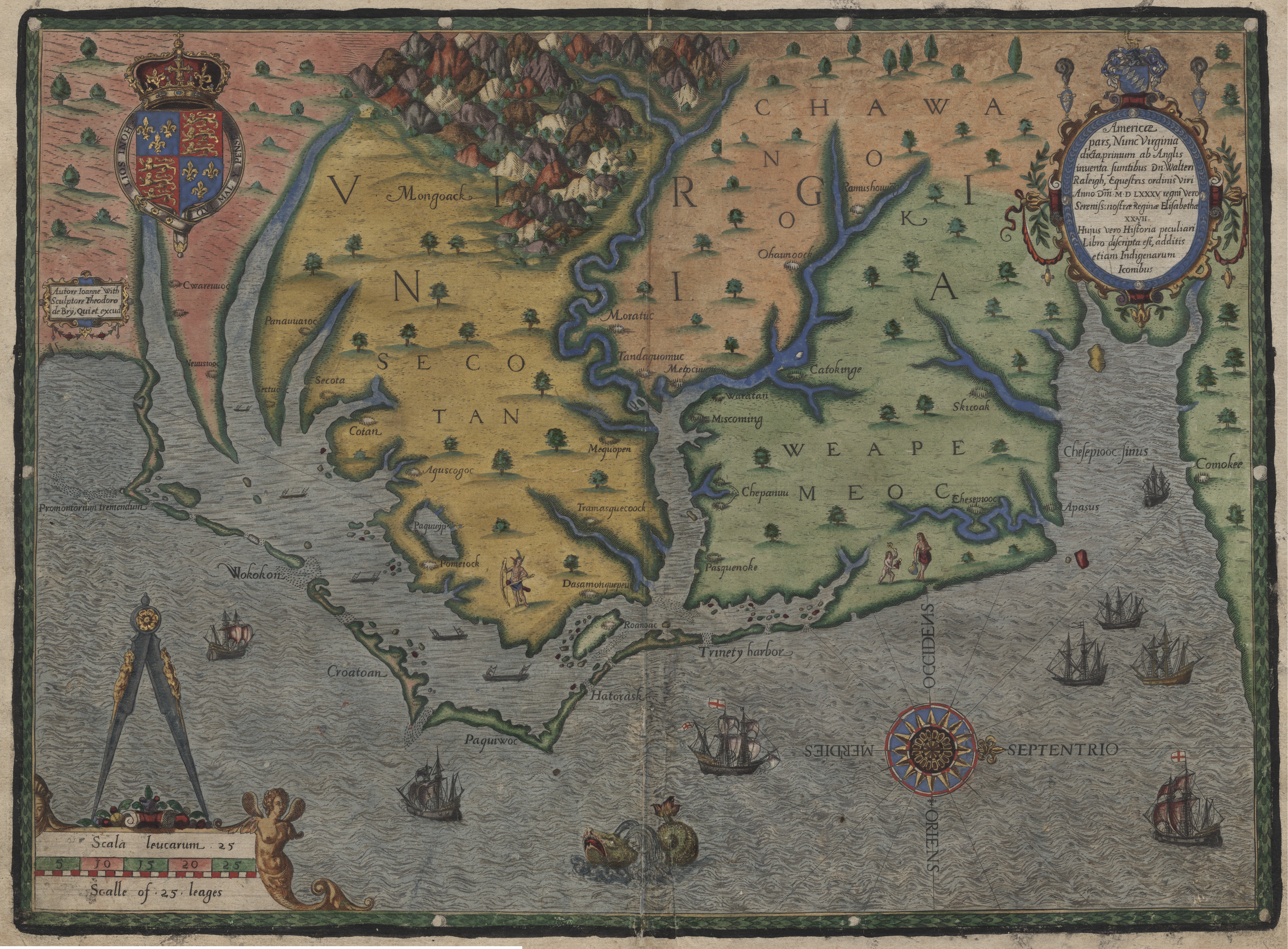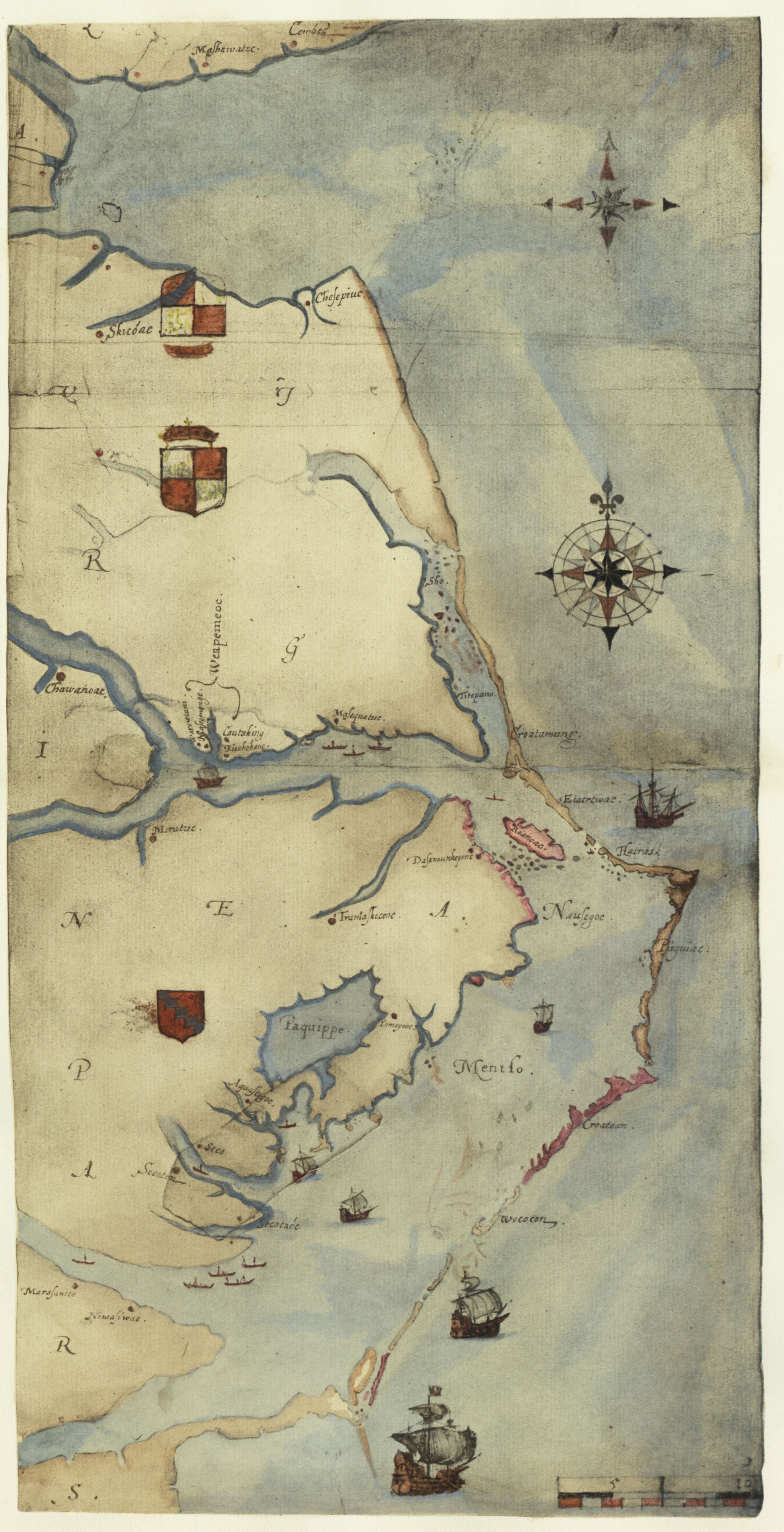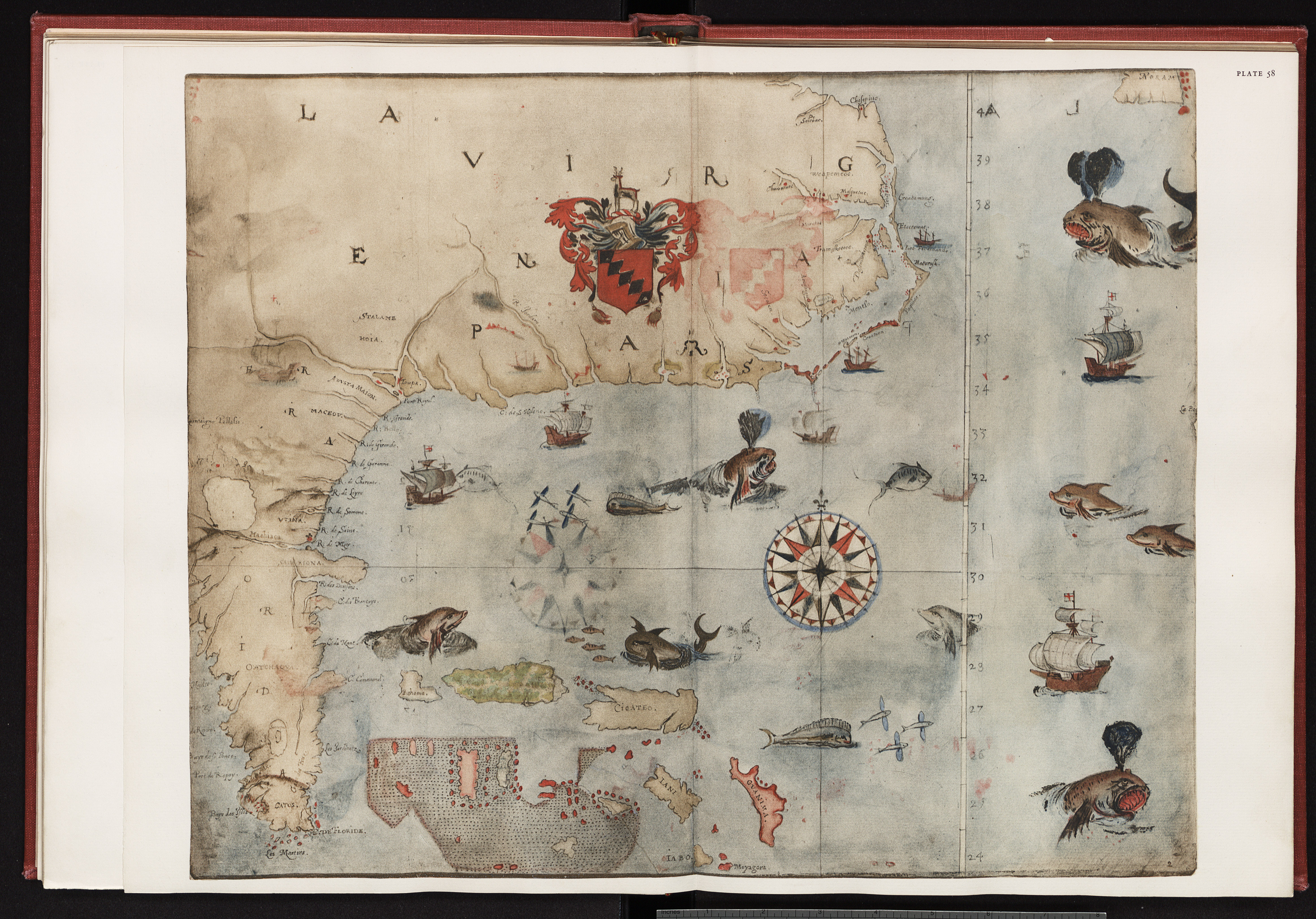
The Atlas section of Roanoke Colonies Illuminated is not intended to be a general atlas of the period or a comprehensive atlas of the explored regions of North America. It is rather an interactive section of the website containing those maps that are used to illustrate particular places or terms. Readers will find that by clicking on the highlighted name for any particular map the full scanned version of that map will open for further examination and study.