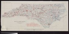
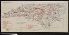
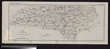
Map of North Carolina showing stream gaging stations, with rainfall and temperature data.
- Title
- Map of North Carolina showing stream gaging stations, with rainfall and temperature data.
- Description
- Raleigh, N.C. : N.C. Department of Conservation and Development, 1928. 1 map. Scale 1:1,000,000(W 84°20'00--W 75°27'00/N 36°34'25--N 33°27'37). N.C. Department of Conservation and Development, Economic Paper 61, plate 1.; Base by U.S. Geological Survey, printed 1928. Prepared by Water Resources Division, N.C. Department of Conservation and Development
- Date
- 1928
- Extent
- 83cm x 37cm
- Local Identifier
- G3901.C3 1928 .N67
- Creator(s)
- Subject(s)
- Rain and rainfall--Measurement--North Carolina--Maps
- Stream-gaging stations--North Carolina--Maps
- Temperature measurements--North Carolina--Maps
- Permalink
- https://digital.lib.ecu.edu/10432
- Preferred Citation
- Cite this item
- This item
-
 Map of North Carolina showing stream gaging stations, with rainfall and temperature data.
- My Collections Login
- Printable Feedback Form
- Found in theme/project
-
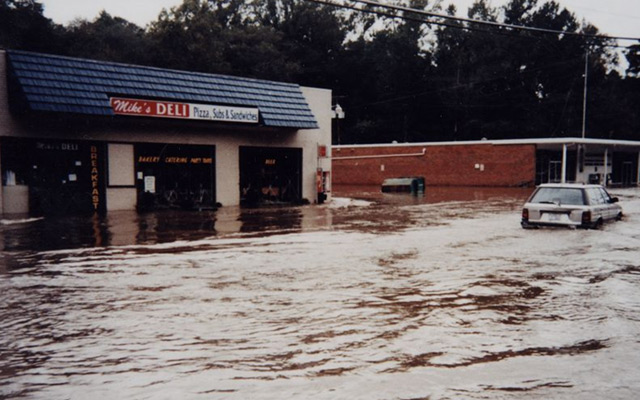 Natural Disasters
-
 North Carolina Maps
Related Search Results
Public access is provided to these resources to preserve the historical record. The content represents the opinions and actions of their creators and the culture in which they were produced. Therefore, some materials may contain language and imagery that is outdated, offensive and/or harmful. The content does not reflect the opinions, values, or beliefs of ECU Libraries.
Contact Digital Collections
If you know something about this item or would like to request additional information, click here.
Comment on This Item
Complete the fields below to post a public comment about the material featured on this page. The email address you submit will not be displayed and would only be used to contact you with additional comments or questions.