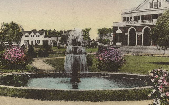
Topographic map of East Carolina Teachers College, Greenville, N.C.
- Title
- Topographic map of East Carolina Teachers College, Greenville, N.C.
- Description
- Greenville, N.C. : 1924. 1 map. Scale 50'-1". "Note Elevation[s] on this map are referred to sea level. A line of levels was run from a Bench Mark at the end of Fifth Street. This Bench Mark was established by the State Highway Commission from a USGS Bench Mark at Grimesland." Includes legend. H. A. Underwood Co., Engineers & Architects, 912-918 Commercial Bank Bldg., Raleigh, N.C.
- Date
- 1924
- Original Format
- maps
- Extent
- 39cm x 17cm
- Local Identifier
- UA01.02.08.32
- Creator(s)
- Subject(s)
- Spatial
- Location of Original
- University Archives
- Rights
-
This item has been made available for use in research, teaching, and private study. Researchers are responsible for using these materials in accordance with Title 17 of the United States Code and any other applicable statutes. If you are the creator or copyright holder of this item and would like it removed, please contact us at als_digitalcollections@ecu.edu.
http://rightsstatements.org/vocab/InC-EDU/1.0/ - Permalink
- https://digital.lib.ecu.edu/16717
- Preferred Citation
- Cite this item
- This item
-
 Topographic map of East Carolina Teachers College, Greenville, N.C.
- My Collections Login
- Printable Feedback Form
- Found in theme/project
-
 ECU History
-
 ECU History: ECTC
- Location of Original
- Records of the Board of Trustees from the University Archives
- View all digitized items from the Records of the Board of Trustees
Public access is provided to these resources to preserve the historical record. The content represents the opinions and actions of their creators and the culture in which they were produced. Therefore, some materials may contain language and imagery that is outdated, offensive and/or harmful. The content does not reflect the opinions, values, or beliefs of ECU Libraries.
Contact Digital Collections
If you know something about this item or would like to request additional information, click here.
Comment on This Item
Complete the fields below to post a public comment about the material featured on this page. The email address you submit will not be displayed and would only be used to contact you with additional comments or questions.